It is useful to identify which unassigned features contain population so that you can easily review them in your plan.
To do this, follow these steps:
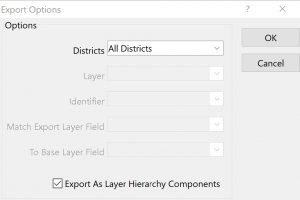
- Choose Redistricting>Plan Utilities>Export Plan
- Choose All Districts from the District dropdown

- Check “Export as Layer Hierarchy Components”
- Click OK
- Enter a filename and click Save
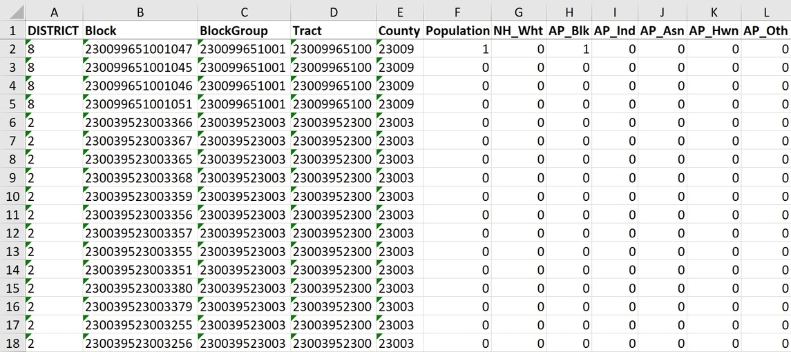
The resulting file contains the ANSI code for the largest hierarchy feature that has been entirely assigned to one district, along with district and summary field information.

You can filter to show only the blank District to see what features have not been assigned, along with the summary field information.
