Last Updated: September 7, 2023
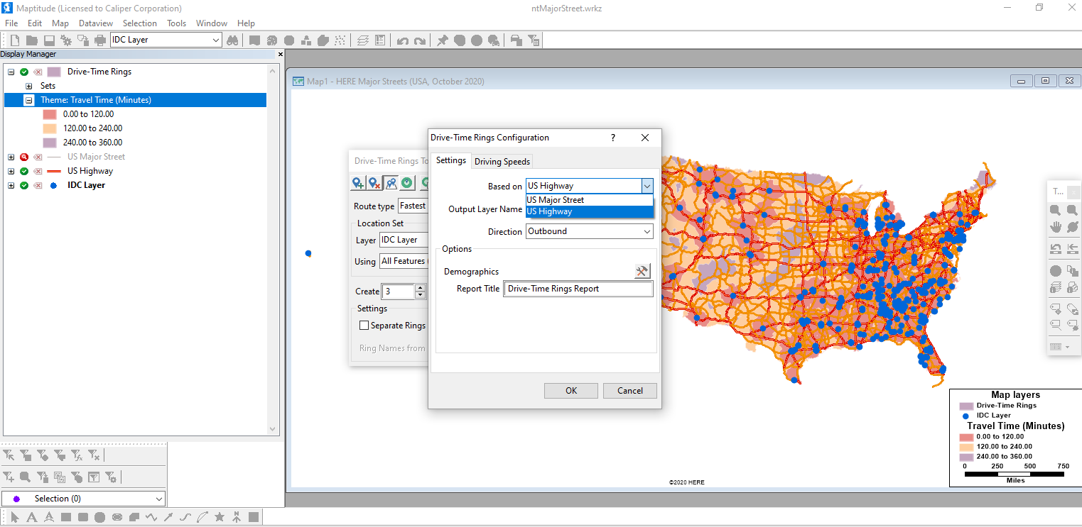
You may have needed to create very large drive time rings or routes with Maptitude and noticed that they can take a while to process over such a large area. With any of the routing tools, you can select the road network that you use to calculate your routes. For example, if you have the US country package you can use the US Highway and US Major Street layers with Drive Time rings (and other routing tools) for much faster creation for those doing large (long haul) routes or drive time rings.

In the US country package, the US Highway/Freeway layer is a default layer that you can use for your routing or drive time rings. Alternatively, you can use the US Major Street layer for your routing by following these steps:
1. Go to Map>Demographic Librarian and choose the overview, overview light theme, or the overview dark theme.
or…
Add “ntMajorStreet.Cdf” to any map following these steps: https://www.caliper.com/learning/articles/how-do-i-add-existing-layers-to-a-map/
2. Open one of the routing tools under Tools>Routing & Directions>…
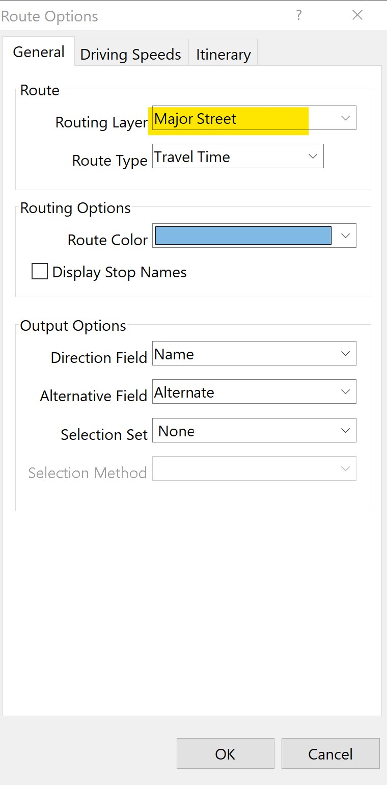
3. Click (settings button) to open the options. You can specify the layer used for routing under the “Routing Layer” pulldown.

