Last Updated: March 5, 2025
Maptitude allows you to export a list of the ZIP Codes (or other point layers) in your ring/radius, drive-time ring, or drawn area.
Go to Edit>Preferences>Reporting, check the Allow me to choose the layers included in the report option, and click OK. In the Display Manager, right click on 5-Digit ZIP Point and choose Show Layer.
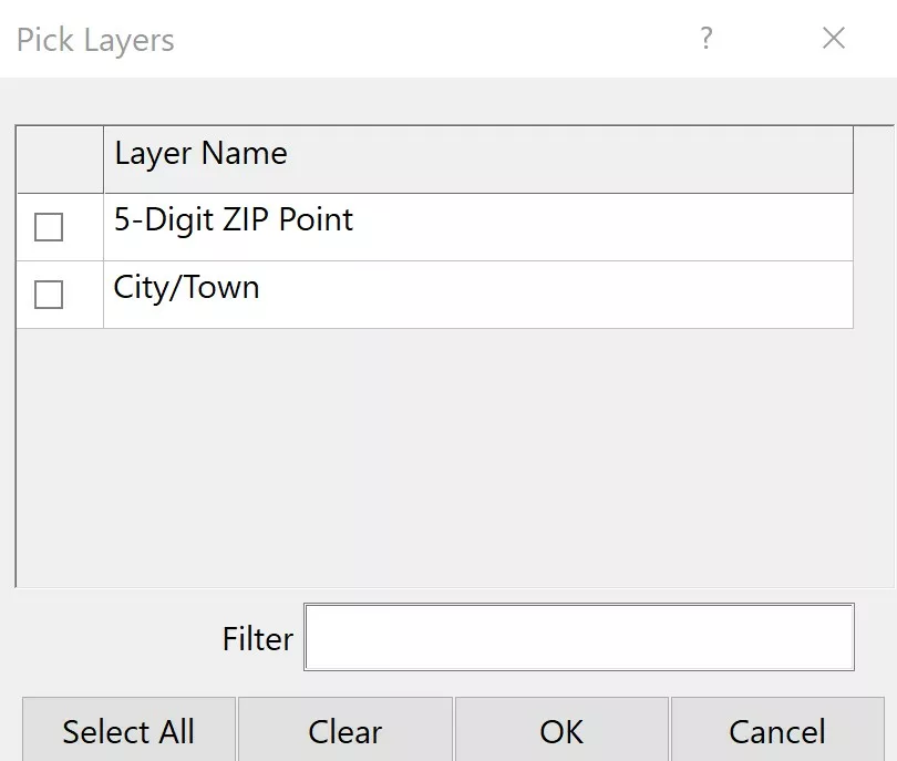
Now, when you right-click on a drawing item and choose Export to Excel, or when you change the working layer and choose Tools>Reports>Export to Excel, you will be able to choose whether you want ZIP Codes included in your report by checking the 5 Digit ZIP Point box in the Pick Layers dialog box.

