Last Updated: October 24, 2023
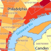
You can map Census Tract codes using Census data mapping software.

This article describes how to import a list of your own Census Tract data, from an Excel file or similar table, and create a map.
To map your Census Tract data, you can download a free mapping software trial of Maptitude Desktop or use your existing Maptitude Desktop license.
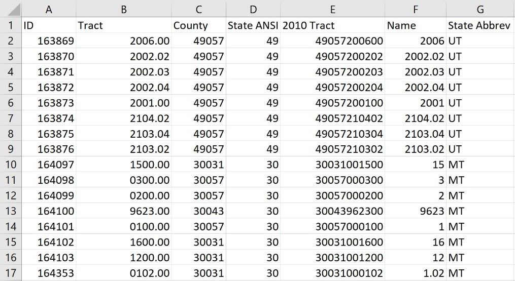
When mapping your Census Tracts in Maptitude, you may have separate county and tract number fields with your data. Maptitude needs the full 11-digit tract code (county and tract) to locate by tract, so just locating by the 6-digit tract code alone will not work.
It is important to note that the Tract numbers might be of varying length depending on how they are stored in your Excel table. See the values in the “Name” field (Column F) in the graphic below for reference. The steps below describe how to standardize these values with leading zeroes so that they are a full 6-digit code that can be used for locating in Maptitude.
Follow the steps below to create a formula field in Excel to get the full 11-digit tract code:

- Open your excel sheet and add a new field (call it “Tract Name” or something similar)
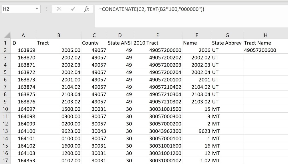
- In the first entry in your new column, type the following: “=CONCATENATE(C2, TEXT(B2*100,”000000″))“
- Replace C2 with the location of your 5-digit County code (in the same row)
- Replace B2 with the location of your 6-digit Tract code (in the same row)

How do I map my Census Tract codes? Census Tract ID Formula.
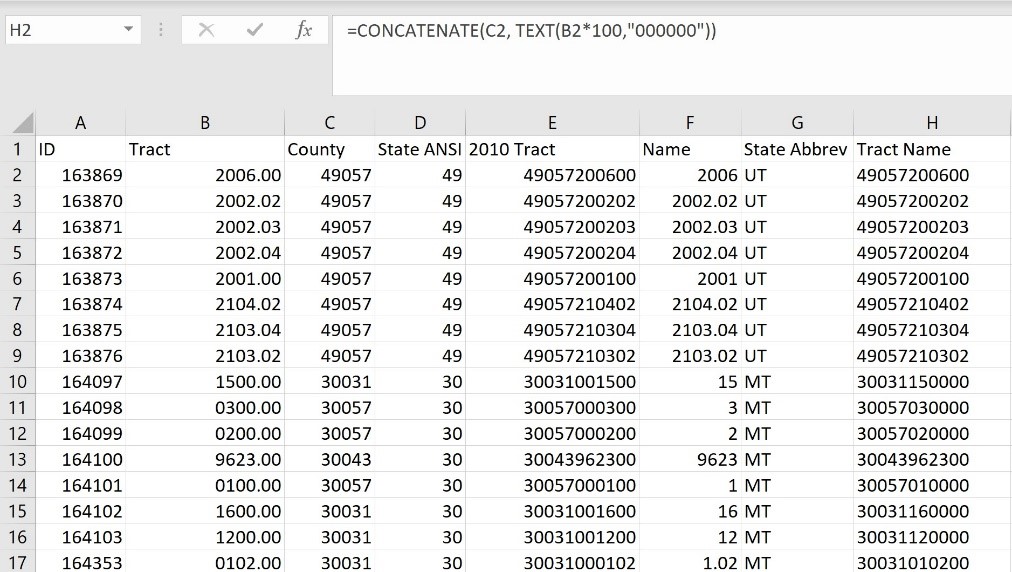
- Click the cell you just created and copy the cell formula to all the rows. This will fill in the remainder of your entries.

How do I map my Census Tract codes? Census Tract ID Filled Formula.
Now your data is ready to be mapped by census tract. You can see our guide on using the Create-a-Map Wizard for how to bring this data into Maptitude: https://www.caliper.com/learning/media/creating-a-maptitude-map-using-your-own-data/
