Last Updated: March 19, 2025
You can map Eircodes using services available in mapping software. You can try these methods below by requesting a free trial of Maptitude mapping software or using your own license.
What are Eircodes?
Eircodes are the unique postal codes used in the Republic of Ireland. Eircodes and United Kingdom Northern Ireland (UKNI) postcodes have distinct formats:
- Eircode Example: A65 F4E2
- UK NI Postcode Example: BT48 6DQ
Eircodes are alphanumeric and consist of seven characters, divided into two parts: a three-character routing key and a four-character unique identifier. In contrast, UKNI postcodes typically includes an outward code (one or two letters and one or two numbers) and an inward code (one number and two letters).
Locating Addresses and Eircodes with Country Packages
The United Kingdom and Europe Country Packages can locate addresses with Eircodes, but they cannot locate Eircodes on their own. This means that these packages will accurately locate addresses that includes an Eircode, but they are not designed to locate Eircodes independently.
For more information on mapping your country data, please read this article on mapping your own country’s data.
Using Web Services to Locate Eircodes
To locate a table with a column for Eircodes, you can use the Locate by Web Services tool. This feature allows you to convert Eircodes into geographic coordinates using third-party geocoding services.
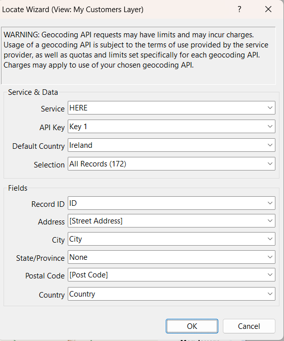
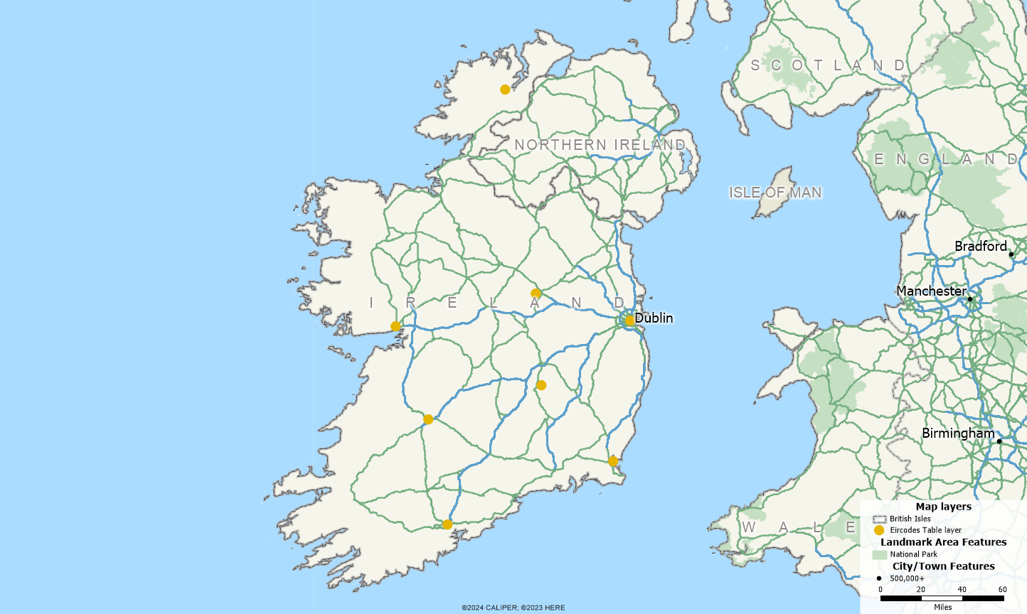
By following this process, you can accurately place Eircodes on your map.
For information on how to locate Northern Ireland postcodes, please refer to this article.