Last Updated: March 5, 2025
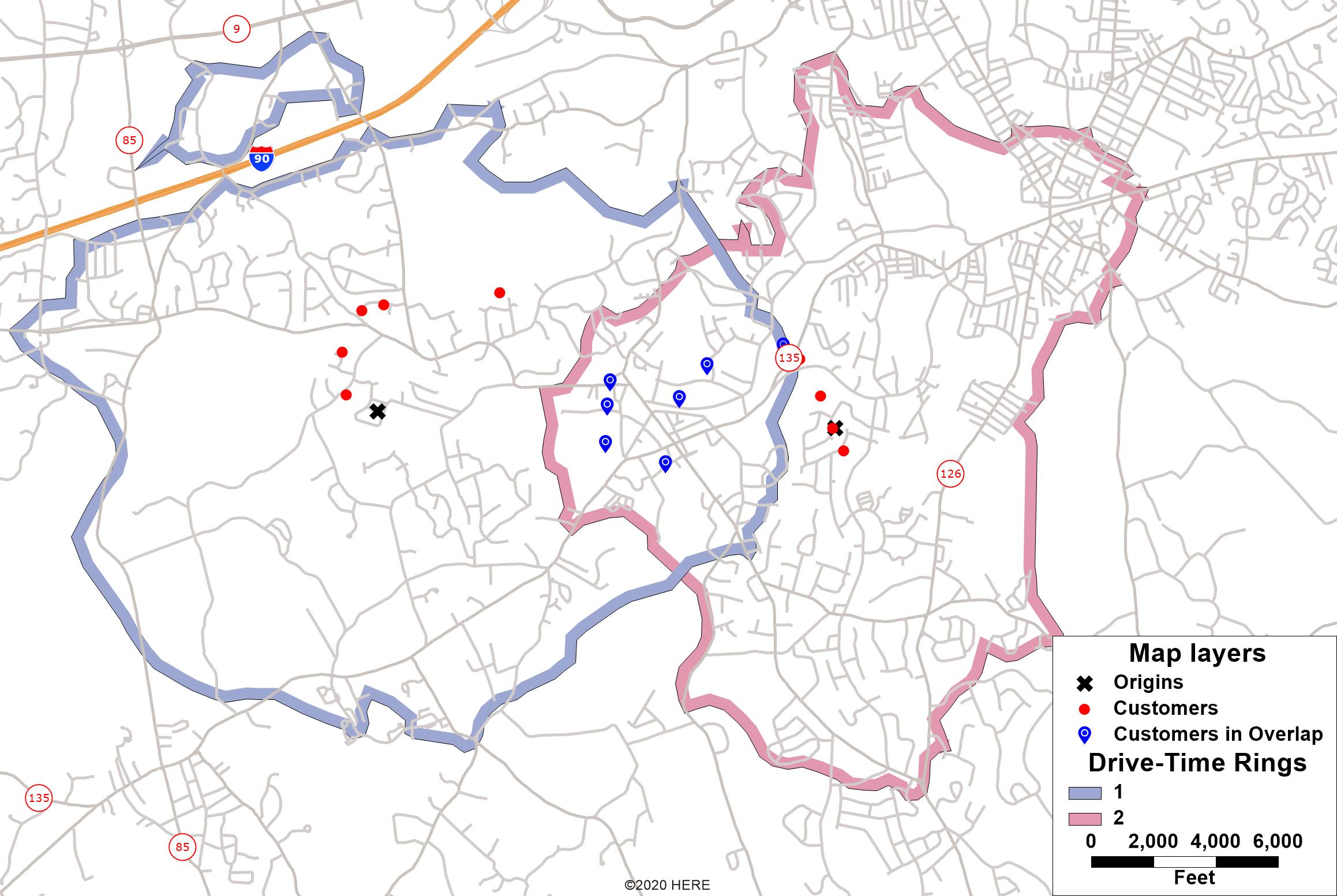
When you create multiple drive-time rings or buffers in your map, these rings may overlap with each other, and you may wish to find which customers/locations are contained in overlapping features or segments. This article will explain how you can identify these locations.

- If you haven’t already, create your buffers or drive-time rings. For instructions, see:
- Choose your point locations as the working layer
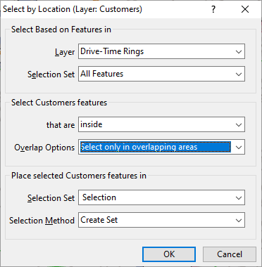
- Go to Selection>Select by Location
- Make your settings like the attached screenshot:

Your points will now be highlighted. To export your selected locations to excel, see: https://www.caliper.com/learning/articles/how-do-i-save-the-contents-of-my-selection-set-to-excel/
