| April 2023 Newsletter |

|

|
| Website | Contact Us | Pricing | Live Demo | Free Demo | Reviews | |
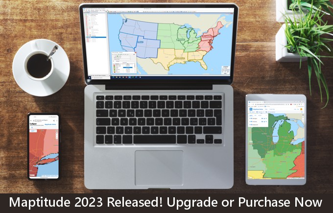
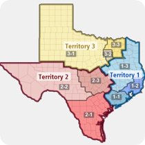
Maptitude 2023 is now shipping and provides unbeatable value for data mapping, sales territory management, demographics, radius maps, unlimited geocoding, report creation, routing, heat/thematic maps, market analysis, site selection, and more. Sales Territories & Business Development ToolsYou can now manage territory hierarchies by toggling between multiple territory layers in a map. Easily switch between your territory, district, and region boundaries. When managing a vehicle fleet, Maptitude 2023 allows you to model multiple vehicles, routes, and depots, over multiple days, with rest stops, time windows, and balancing. MapPointMaptitude 2023 has additional support for Microsoft MapPoint, Streets & Trips, and AutoRoute, with import for pushpin information labels and read-only drawing items. New DataThe extensive USA demographic data has been updated and the free premium data will also be refreshed for Maptitude 2023 users. Completely new datasets include population counts by sub-national boundaries, which are useful for those managing international territories. Also added is a USPS Carrier Route Centroids map layer for efficiently targeting market areas to send mail. Online Analysis, Sharing, and PublishingMaptitude Online is the best value in online map software for sharing, batch geocoding, heat and radius mapping, demographic reports, filtering, map customization, and territories. Maptitude Online can also be used to share maps from the desktop product.
|
|||||||||||||||||||||||||||||||||||||||||
|
|||||||||||||||||||||||||||||||||||||||||
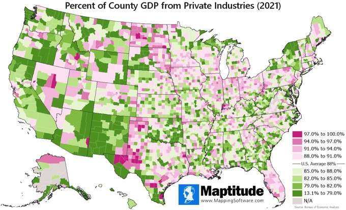
| Featured Map: Updated Maptitude 2023 Data! Where Private Enterprise Drives the Economy (& Where it Doesn't): Private Industry GDP by County |
|||||||||||||||||||||||||||||||||||||||||
|
|||||||||||||||||||||||||||||||||||||||||
| » More about this map and other featured maps | |||||||||||||||||||||||||||||||||||||||||
| Tech Tips: | |||||||||||||||||||||||||||||||||||||||||
|
|||||||||||||||||||||||||||||||||||||||||
| Maptitude Blog: GIS for Local Government: Planning/Zoning 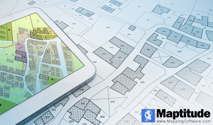
Many local governments are being asked to have a more transparent relationship with their citizens, which has been supported by technologies like geographic information systems (GIS) and other data visualization tools which allows communities to manipulate, analyze, and present data in a geographic form. Read on to learn how your municipality can use Maptitude for planning and zoning » |
|||||||||||||||||||||||||||||||||||||||||
|
Learning:
Training: June 20-22, 2023 • Virtual Classroom • Details | Register
|
|||||||||||||||||||||||||||||||||||||||||
|
|||||||||||||||||||||||||||||||||||||||||
| www.MappingSoftware.com | ©2023 Caliper Corp. All Rights Reserved. |
|
Past Maptitude Newsletters |

