Data
New data sets for the USA provide access to the most up-to-date geographic information available. Now included is the 2020 Census and American Community (ACS) demographics and boundaries (e.g., tracts, counties, and states). The free premium data will also be updated. More...
Online Analysis, Sharing, and Publishing
Maptitude Online can be used even without desktop Maptitude with a new online Create-a-Map-Wizard, and supports both private and public map sharing. More...
MapPoint
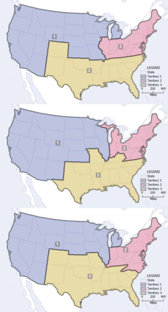
Maptitude 2022 has enhanced one of the best features of Microsoft MapPoint, the territory manager, by providing automated territory creation. A powerful addition to the logistics and operations tools is the Routing Deliveries and Pickups Wizard that optimizes your vehicle fleets. In addition, you can now benefit from faster trip routing calculations and support for date/time data in custom color/heat theme visualizations. More...
|
Maptitude Blog:
How to Automate Territory Optimization

Well mapped territories based on a solid data foundation improve revenue and the morale of franchisees, sales representatives, and regional managers. Rebalancing territories to support fair assignments in terms of sales opportunities and workload improves commitment and engagement, while ensuring that your sales and marketing metrics accurately reflect the efforts of your teams.
Read on to learn how to use Maptitude for territory optimization! |


