|
November 2016 Newsletter |
|||
|
|||
Website | Contact Us | Pricing | Live Demo | Free Trial | Reviews
Free Map Resources
USA Healthcare Data Videos, Tricks and Tips
|
|
To support the use of our free hospital map layers we have released two short videos on how to download the data and on how to use the data with the Maptitude territory tools. The videos are available here. In addition, don't forget that the data download includes a PDF document with tricks and tips on how to use the healthcare layers to effectively filter and analyze the data. The PDF is normally located here: c:\ccdata\ReadMe.Pdf and is also accessible on the website here. |
Featured Map
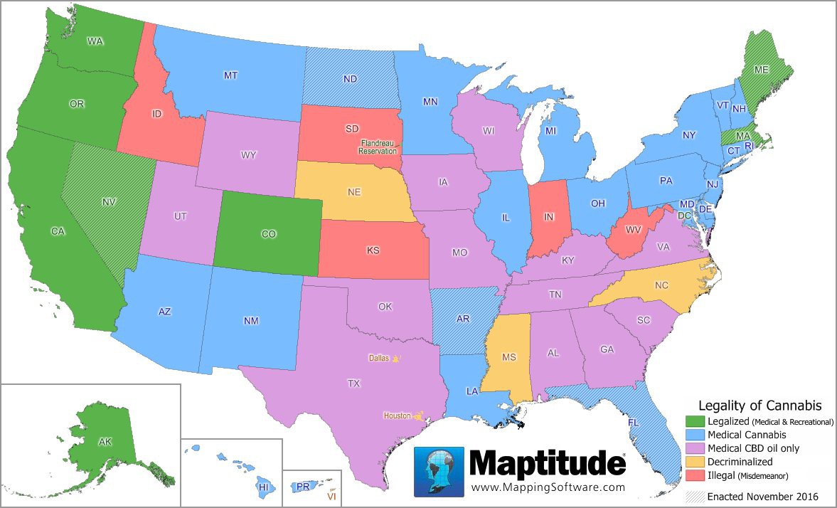
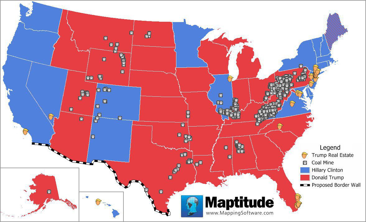
Election Wrap Up: Legalization and National Election Issues
Tech Tip
How do I create drive-time catchment/market areas?
|
|
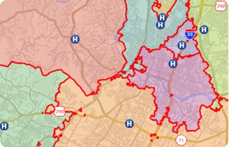
With Maptitude you can create straight-line or drive-time catchment/market areas using Areas of Influence or Network Partitioning, respectively. For example, a hospital network could use this tool to get an accurate representation of the coverage area for each of their locations. This Tech Tip shows how to create drive-time based areas of influence with Maptitude 2016. |
Tricks & Tips
How do I show more information in the hover label balloons?
|
|
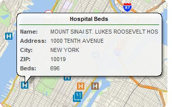
In a Maptitude map, placing your cursor over the map displays a hover label similar to that shown in MapPoint. If you would like to show more fields of data in the hover label, all you have to do is right click on a layer in the Display Manager and choose "Choose Hover Fields". You can add or drop columns of data and the fields you have selected will appear in the hover label. More advanced hover tool settings can be managed through the Maptitude menus via Map-Hover Settings, and also via Edit-Preferences-Hover. For example, you can change the layer priority and whether the Hover label shows for all layers or just the working layer. |
Learning
Free MapPoint Webinar, Video, & Handout Now Available! September Training Dates!
|
|
MapPoint Webinar: This webinar will help MapPoint users new to Maptitude 2016. We will discuss mapping your data, changing the styles on a map, getting reports on custom-defined areas, creating drive time rings, the hover label tool and creating territories. There is also a free class handout here. April 2017 Training: Access experienced Maptitude trainers in a classroom setting. |

