| Mapping, GIS, & Transportation Software Solutions |
| Mapping, GIS, & Transportation Software Solutions |
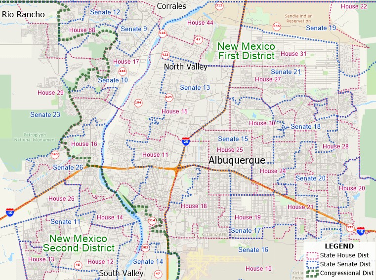
The State Legislative Districts product contains separate layers of state house (lower chamber) districts, state senate (upper chamber) districts, and the 118th (2023-2024) Congressional Districts. The data are available as nationwide layers or for a single state/territory.
Boundaries reflect the legally enacted districts at the time of publication (May 2023). Please note that Montana has not yet updated its state legislative districts for the 2020 cycle. The product also contains a separate layer for the New Hampshire Lower Chamber Floterial Districts.

Each of the layers includes District Name and District Code fields as well as 2020 Census data.
» Includes 45 fields of demographic data from the 2020 Census:
The Congressional district layer contains 2020 Census data and American Community Survey (ACS) data. See the Congressional Districts Data page for information on the data fields.
|
|
Learn more about Census summary levels (e.g., Blocks, Block Groups, and Tracts) |
*For use with a single copy of Caliper's Maptitude Mapping Software or TransCAD Transportation Planning Software
Home | Products | Contact | Secure Store