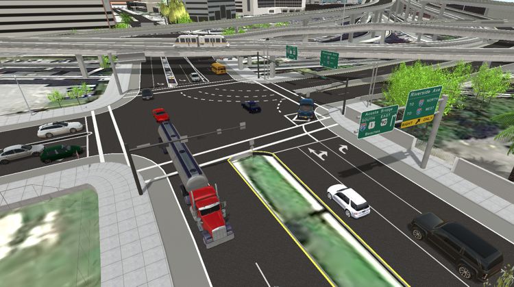
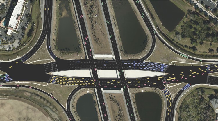
TransModeler is a powerful and versatile traffic simulation package applicable to a wide array of traffic planning and modeling tasks. TransModeler can simulate all kinds of road networks, from freeways to downtown areas, and can analyze wide area multimodal networks in great detail and with high fidelity. You can model and visualize the behavior of complex traffic systems in a 2-dimensional or 3-dimensional GIS environment to illustrate and evaluate traffic flow dynamics, traffic signal and ITS operations, and overall network performance.
 TransModeler breaks new ground in ease-of-use for complex simulation
applications and integrates with TransCAD, the most popular travel demand
forecasting software in the U.S., to provide a complete solution for
evaluating the traffic impacts of future planning scenarios. Moreover, the
TransModeler mapping, simulation, and animation tools allow you to present study
findings to decision-makers in a clear and compelling fashion.
Based upon the latest research, TransModeler employs advanced methodological techniques and software technology to bring traffic simulation into a new era. TransModeler models the dynamic route choices of drivers based upon historical or simulated time dependent travel times, and also models trips based on origin-destination trip tables or turning movement volumes at intersections. It simulates public transportation as well as car and truck traffic, and handles a wide variety of ITS features such as electronic toll collection, route guidance, and traffic detection and surveillance. TransModeler works with travel demand forecasting software to provide an integrated capability to perform operational analysis of transportation projects and plans. Traffic simulation results can also be fed back for use in travel demand forecasting.
 Also
available, TransModeler SE, an all-in-one traffic analysis
solution for microsimulation, traffic impact analysis, and
signal optimization.
Learn more»

Caliper Corporation, a worldwide leader in transportation and GIS software, designed TransModeler for ease-of-use by traffic engineers and planners. TransModeler has an intuitive user interface and is the only simulation software that fully supports Windows standards. TransModeler lets you create and manage multiple projects, networks, demand profiles, and traffic signal control strategies for alternatives analysis. With TransModeler you can:

TransModeler is the best tool to help transportation planners prioritize projects for transportation improvement programs. Use TransModeler to evaluate the benefits of various projects with operational fidelity and select the right projects to account for the projected growth in your region. TransModeler is multimodal and simulates passenger cars, heavy vehicles, buses, trains, bicycles, motorcycles, and pedestrian impacts. You can further customize your vehicle fleet, including the ability to designate vehicle classes as having varying levels of automation capabilities.
TransModeler will make your simulation analysis more cost-effective than ever before.
Caliper designed TransModeler for ease-of-use by traffic engineers and planners. TransModeler has an intuitive user interface and is the only simulation software that fully supports Windows standards. TransModeler lets you create and manage multiple projects, networks, demand profiles, and traffic signal control strategies for alternative analysis.
With TransModeler you can:
TransModeler boasts a vast and growing array of features that extends well beyond traffic simulators that came before it:
Home | Products | Contact | Secure Store