Mapping Software and GIS Glossary
Contiguity in redistricting is the requirement that all parts of a district be connected geographically at some point with the rest of the district. Limits on contiguity by point or by water vary by state.
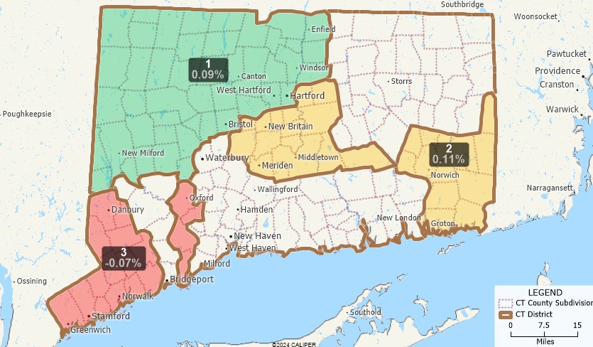
District 1 in the map above is geographically contiguous. District 2 is contiguous at a point. District 3 is not contiguous and would not be permitted.
Maptitude for Redistricting is the professional tool for political redistricting. Designed with input from redistricting professionals, state legislatures, and political parties, Maptitude for Redistricting has the features redistricters want and is easy to learn and use.
Home | Products | Contact | Secure Store
