Mapping Software and GIS Glossary
Floodplain mapping involves delineating and analyzing areas that are prone to flooding during periods of high water flow. This process utilizes elevation data, hydrological models, and other spatial information to identify flood-prone areas and assess potential flood risks.
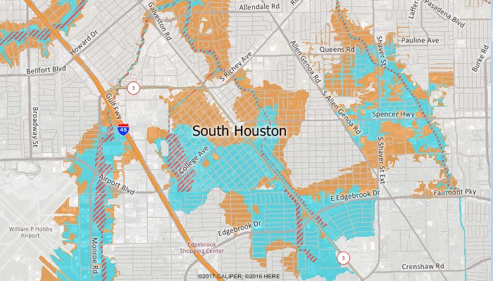
This map shows the areas at risk of flooding in South Houston, Texas.
Maptitude Mapping Software gives you all of the tools you need to map locations and assess floodplain hazards.
Learn More Free Trial Free for Students/Teachers
![]()
![]()
![]()
![]()
![]()
![]()
![]()
![]()
Home | Products | Contact | Secure Store
