| Mapping, GIS, & Transportation Software Solutions |
| Mapping, GIS, & Transportation Software Solutions |
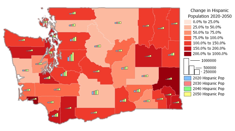
An area layer of U.S. Counties that contains projection data is available as a free download to users of the latest version of Maptitude*. This layer contains population projections broken down by year, age, race, and gender. The projections are useful for any kind of analysis that involves considering future population counts.

County Demographic Projection Data - Future Population Counts Map
*Requires latest Maptitude or TransCAD license
Home | Products | Contact | Secure Store