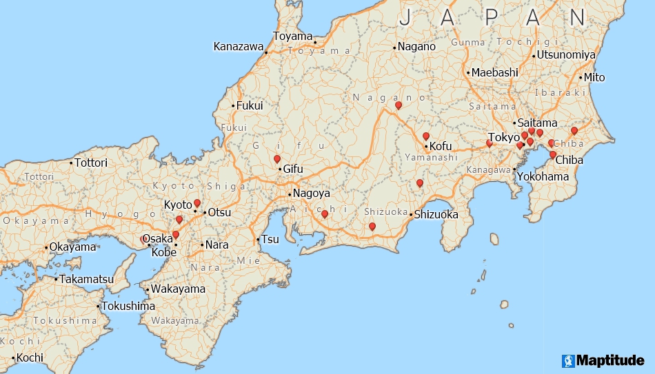
Maptitude allows you to plot locations based on any populated place (village, town, city) in the world, or to view your data by country or province. Maptitude includes international geographic data layers that you can use to create effective maps of any region in the world. Maptitude also includes a FREE Country Package with streets, landmarks, and political boundaries for a single country. In addition, a free add-in is available that provides easy access to no-cost web-based data sources.

Home | Products | Contact | Secure Store