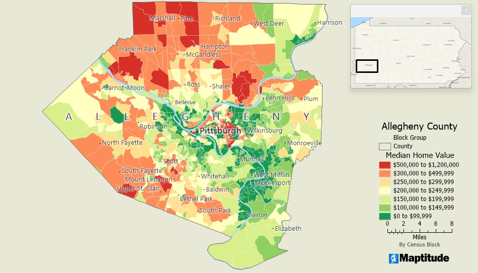
Maptitude includes extensive nationwide and worldwide geographic data for creating maps of any location. It also includes several tools so that you can narrow your view to a specific area. In addition to the zoom and find tools that let you display the exact map extent you want, you can quickly create masks that hide features outside your area of interest. For example, you can zoom to a state or sales territory and then mask the neighboring areas so just one is visible. You can also use the Multi-Clipper to create new geographic files from a portion of the nationwide files.
Home | Products | Contact | Secure Store