There are many benefits when you use Maptitude as a replacement
for Autodesk Infrastructure Map Server:
- Quickly see the information and trends hidden in your
geographic data
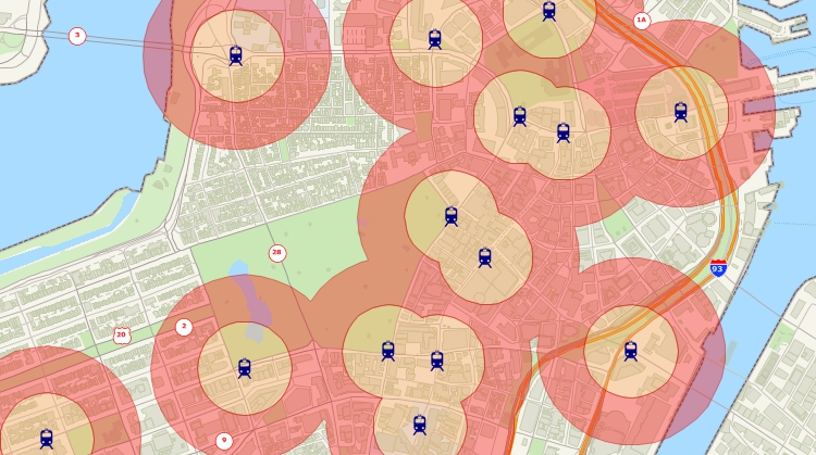
- Create 3-D maps, heat maps, territories, drive-time rings,
hot-spots, charts, and reports
- Import, analyze, segment, and report on data in almost any
format
- Map your data for any country in the world: where available
use demographic, address, zip code, post code or county boundary
data
- Use location intelligence to filter and categorize data
- Print, export, manage, share, and use located-based results
- Contact the Maptitude Support Team via phone and email!
- Use Maptitude mapping software and start seeing
better maps and better results – Now!
Maptitude can turn maps into interactive mobile ready
applications that allow you to share maps across an
organization. Maps are uploaded to Maptitude
Online. These maps are then accessible via browser-based
interfaces on desktop and mobile devices providing mapping tools
via a website branded with your company name and logo.
Alternatively, if you need to self-host a web GIS application,
or need a customized web mapping application, contact
us about our web mapping development platform.
Maptitude is competitively priced and enables organizations and
businesses to use their location-based data to improve decision making.
Why spend more for less?

The best AIMS replacement mapping software! Here's why:
√ Maptitude is the easiest-to-use full featured mapping software, and
includes powerful tools such as multi-ring drive-time zones
√ Maptitude has
no subscription fees, and supports secure off-line data storage
-
Maptitude Online is available for customers that require
online sharing or a Cloud application
-
Maptitude subscriptions are available for customers that
prefer them to our one-time payment pricing
√ Maptitude
provides fully customizable maps with unlimited point icons
√ Maptitude has
unlimited pin-mapping/geocoding
√ Maptitude includes free mapping data and
demographics covering everything from population statistics to business
locations, postal/ZIP Codes, and more!
|
 “I
have worked with Caliper products for 10 years as a
transportation/urban planner and they have always
fulfilled my needs. Maptitude/TransCAD software are
easy to use, organized and robust: able to cope with
large datasets without any problems. The user
interface is very clear and easy to understand. The
exchange of data and databases across several
formats is also very simple and functional. The
two-way direct link with Google Earth makes my
projects look really interesting.” “I
have worked with Caliper products for 10 years as a
transportation/urban planner and they have always
fulfilled my needs. Maptitude/TransCAD software are
easy to use, organized and robust: able to cope with
large datasets without any problems. The user
interface is very clear and easy to understand. The
exchange of data and databases across several
formats is also very simple and functional. The
two-way direct link with Google Earth makes my
projects look really interesting.”
Gustavo Manzato
Professor
|
|
 “The
package offers ease of use, an extensive range of
functions & capabilities & a wealth of data. In
fact, if I purchased the data separately, from any
of multiple sources, the costs for data &
restructuring would be over $20000.” “The
package offers ease of use, an extensive range of
functions & capabilities & a wealth of data. In
fact, if I purchased the data separately, from any
of multiple sources, the costs for data &
restructuring would be over $20000.”
Nick Nicholas
Consultant
|
 Check out our G2 Reviews