Maptitude is a robust and easy-to-use professional mapping tool that can play a valuable role in petroleum land mapping. Maptitude costs only US$695 and is packaged as a one-stop-solution, shipping with all the tools and data required for oil and gas land mapping:
Learn more about energy mapping with Maptitude
Learn more about Maptitude mapping software
Includes a free Public Land Survey System (PLSS) download

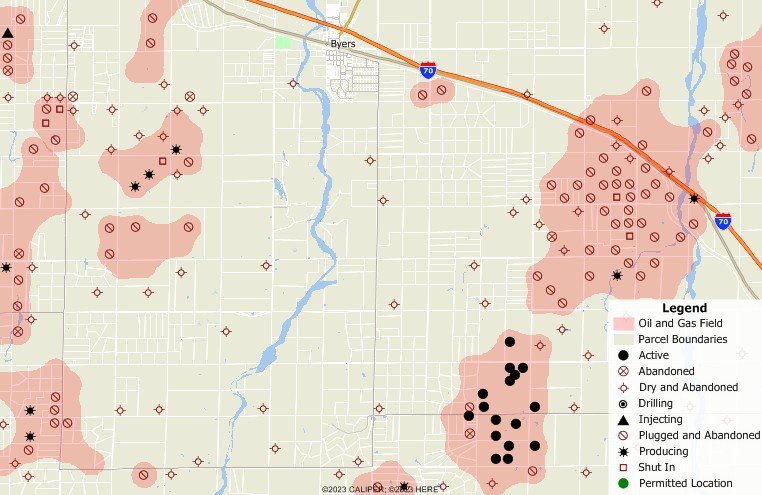
Maptitude map of oil and gas fields and wells with parcels
 |
“The advantage of Maptitude, with respect to oil and gas applications, is that any land professional can learn the software in 2 hours. While the software has many features, frankly that is not what makes it valuable to oil and gas land mapping; it is the simplicity of being able to import shapefiles and color tracts. That's it. There are thousands of other people like me who have to hire their own GIS professional when they just want a map that highlights the property they own, and Maptitude is perfect for this application.” Peter Foley |
Home | Products | Contact | Secure Store