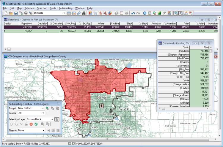
City council redistricting is a complex process incorporating input from a wide variety of stakeholders. For city council redistricting, often a districting commission for the city must use criteria in determining the city council lines. City council redistricting tools must be able to assess:

City Council Redistricting Tools
This is why Caliper developed Maptitude for Redistricting. Maptitude for Redistricting is the ultimate in redistricting software. It is used by a majority of the state legislatures, redistricting commissions, political parties, and public interest groups. A web-based version, Maptitude Online Redistricting, is suitable for individual citizens and legislators who wish to propose boundaries for their district or even an entire plan. There is also a version that runs as an extension to ArcGIS if you prefer working in that GIS environment.

|
“It's light years ahead. The software can do so much more, so much more quickly.” Karl Aro |
Maptitude is the perfect solution for adding additional GIS users where Esri software is already in use. Maptitude:
To learn more about the city council redistricting tools in Maptitude for Redistricting, please see the Features page or contact Caliper Sales at sales@caliper.com or by phone at 617-527-4700.

City council redistricting
There area many City Councils Using Maptitude for Redistricting! Here are just a few of them:
Albany NY Common Council
Baltimore MD City Council
Los Angeles CA Council
Minneapolis MN Metropolitan Council
New York NY City Council


Mapping council districts with Maptitude for Redistricting

 Check out our G2 Reviews