There are many benefits when you use Maptitude postcode mapping software:

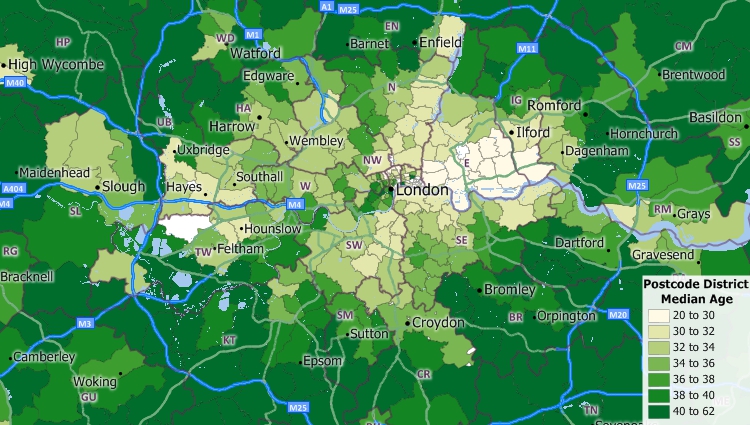
Maptitude UK Postcode map software includes nationwide postcode boundaries and demographic data.

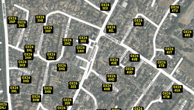
Maptitude UK Postcode mapping software includes nationwide postcode points.
Selecting the ideal postcode mapping solution can be a daunting task. Fortunately, Maptitude Postcode Mapping Software from Caliper has proven to be the preferred choice for a wide range of organizations across the UK, delivering a seamless experience with a host of features tailored specifically for postcode analysis. Here's what some of our satisfied users have to say about transforming their operations with this powerful tool.

|
“Easy to use and speedy to map, comparable for ease of use to the discontinued MapPoint but offers lots of stronger features. The Video tutorials are a really good resource.”
|
 |
“This product has a depth of features and capabilities that allow for deep location related data analysis. Our use of the product did not stretch it. Like all very comprehensive systems there is a lot to take in but the tutorials are excellent and progressive. I feel like we've only just scratched the surface of a very interesting and important data analysis journey.”
|

|
“Using Maptitude to work out the closest members of staff to each store we visit has been incredibly helpful in reducing the travel done by our merchandisers, leading to positive environmental and financial results.”
|

|
“We have found Maptitude to be a really useful piece of software. It allows us to quickly and easily represent various data geographically, and the ease of functionality and ability to layer data makes it really user friendly. It has, among other things, helped us develop our sector-leading delivery service and understand areas that require focus from our sales teams.”
|

Maptitude UK Postcode mapping software lets you see your data attached to postcodes.

Maptitude |
The best postcode mapping software! Here's why:√ Maptitude is the easiest-to-use full featured mapping software, and includes powerful tools such as multi-ring drive-time zones √ Maptitude has no subscription fees, and supports secure off-line data storage
√ Maptitude provides fully customisable maps with unlimited point icons √ Maptitude has unlimited pin-mapping/geocoding √ Maptitude includes free mapping data and demographics (where available) covering everything from population statistics to business locations, postcodes, and more! |
Home | Products | Contact | Secure Store