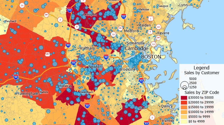
Traditional GIS systems are often recommended for beginners, but this is usually bad advice because the products are not a good fit for novices. Such applications assume a background in GIS usage and terminology and the ability to source data or pay for subscriptions/credits.
» As to what a GIS ("Geographical Information System or Software") is, please read "GIS Software."

Beginner's guide to GIS Applications: Maptitude wizards make it simple to visualize your spreadsheet data on a map
At a minimum, a GIS needs to be easy-to-use, have attractive default backgrounds, and be cost effective. Surprisingly, Maptitude is almost the only GIS that satisfies these criteria. Maptitude Mapping Software has a low learning curve, but allows beginners to immediately perform sophisticated GIS analysis, requiring the user only to open their Excel data. Students and educators get the software for free.
Analysts can gain insights and improve operations with Maptitude through powerful yet intuitive, wizard driven tools that are seamlessly integrated with the data needed to answer critical business questions. This is with none of the hassles in many business intelligence applications where consumers are required to access key data sets, grasp jargon-filled and complicated frameworks, and handle charges per user action.
For data, marketing, business, and operations analysts who are interested (or frustrated with their existing) mapping software or business intelligence tools, Maptitude is a location intelligence application that provides the latest data in an easy-to-use and affordable format, combined with a business-critical toolset. In comparison to other mapping applications, Maptitude provides simple, but advanced optimization tools that are combined with the expert systems required to solve business challenges and maximize sales instantly.
Check out our videos, Learning Portal, Webinars, and try Maptitude for yourself.

|
“Maptitude is the best deal in the GIS world for users who need, or could need – and might not know it yet - full GIS functionality but have a restricted budget and little time for training. I have taught GIS software of several vendors for almost 20 years for use in public health. Of the 3 or 4 most important packages, Maptitude is definitely the easiest to use and compared to others, inexpensive. I cannot think of a GIS operation that it cannot do and, in fact, most operations which are complicated, especially for beginners, are almost simple in Maptitude. It is a package that one can learn on one’s own. The on-line user manual is the best in the business and on the Caliper.com site there are lots of very well done instructional videos. It comes with a lot of world data and a very complete suite of U.S. datasets. But there is a version for the United Kingdom, also Australia, Brazil, several more. Also it has a very nice interface with Google map. You can make professional quality maps right out of the box. Of course what you want to map is your own data and doing that while using the provided base maps makes for a very complete and sophisticated spatial analysis package.”
|

Maptitude |
The best beginner's GIS application!√ Maptitude is the easiest-to-use full featured mapping software, and includes powerful tools such as multi-ring drive-time zones √ Maptitude has no subscription fees, and supports secure off-line data storage
√ Maptitude provides fully customizable maps with unlimited point icons √ Maptitude has unlimited pin-mapping/geocoding √ Maptitude includes free mapping data and demographics covering everything from population statistics to business locations, postal/ZIP Codes, and more! |
Home | Products | Contact | Secure Store