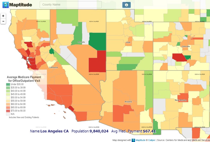
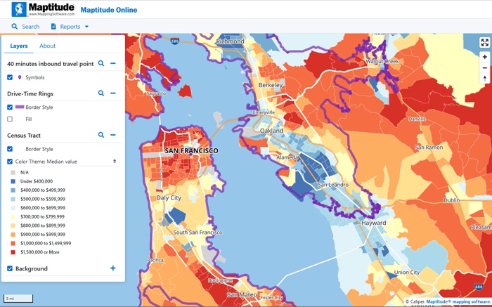
If you are looking to share your geographic data as mobile-friendly interactive maps or looking for an alternative to the discontinued Google Maps Engine service, Maptitude now offers a simple, open solution that puts you in total control of your maps.
Maptitude is a Geographic Information System (GIS) desktop application that is very easy to use. With Maptitude, you can quickly import, geocode and visualize your data on a map, whether it is stored in an Excel spreadsheet, a Shapefile, a KML file or an SQL database (more…). You can then create beautiful thematic maps. Finally, you can save your map and your geographic data as a Mapplication, a fully functional interactive map for the web.
A Maptitude Mapplication is a great way to publish your geographic data.It’s scalable and affordable. Maptitude can turn maps into interactive mobile ready applications that allow you to share maps across an organization. Maps are uploaded to Maptitude Online. These maps are then accessible via browser-based interfaces on desktop and mobile devices providing mapping tools via a website branded with your company name and logo. Alternatively, if you need to self-host a web GIS application, or need a customized web mapping application, contact us about our web mapping development platform.

Maptitude Leaflet Maps Replacement - Leaflet Replacement
When you publish a map through Maptitude Online, you receive a URL for your new Mapplication. It is easy to share your maps in a few simple steps.
Pricing is affordable and simple via an online mapping subscription.
Maptitude can turn maps into interactive Mapplications. A Mapplication is a tiled web service that bundles your map and your geographic data using modern standards and technologies. A Mapplication includes an interactive map, tile images, and a selection of your geographic data translated to GeoJSON.
The map background colors, labels and themes are stored as a set of vector/raster tiles, while your data layers are stored in GeoJSON. You don’t have to write any code to produce a functional interactive map.
Maptitude Mapplications allow those without a GIS background to very easily create tiled web maps with optional overlays, and to display them via the Cloud. Maptitude supports data in almost any format (more…) and the styles of the data can be fully customized within a map. These maps are used to publish the interactive Mapplication layers such as markers with clickable popups.
Like other web map services, the basic display model implemented by a Maptitude Mapplication is to have several base-maps of your choice, plus zero or more transparent overlays (e.g. territories), with zero or more vector objects (e.g. customers or stores) displayed on top. The desktop Maptitude software can create and manage your territories and location data, which can then be shared and published as a Maptitude Mapplication.

Maptitude Leaflet Maps Alternative - Leaflet Alternative
Home | Products | Contact | Secure Store