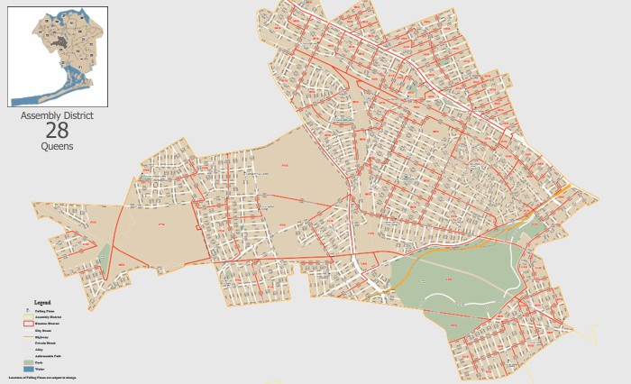
The New York City Board of Elections uses Maptitude for Precinct & Election Management (Maptitude P&E) in its central office as well as in New York's five boroughs. Perhaps their most significant accomplishment to date has been eliminating the annual $1 million map production cost. Not only were the numerous election district maps expensive to produce, but by the time they were ready they were either out-of-date or it was too late in the election cycle for them to be of much value. Today, using Maptitude, the NYC BOE is able to redraw their election districts in a matter of days and create both PDF maps for their web site and in-house printed maps.

Redrawing and mapping election districts is simple with Maptitude
Maptitude for Precinct & Election Management allows you to draw election district boundaries that comply with statutory requirements:
Learn more about Maptitude P&E
Read a case study by Steven Richman, NYCBOE General Counsel (PDF)

New York City uses Maptitude for mapping election districts

 Check out our G2 Reviews