| Mapping, GIS, & Transportation Software Solutions |
| Mapping, GIS, & Transportation Software Solutions |
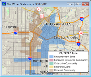
The RC/EZ/EC file contains the boundaries for all of the areas designated under the Empowerment Zone/Enterprise Community Initiative as of January 2002. The RCs and urban EZ/ECs are administered by HUD and the rural EZ/ECs by USDA. Each zone is defined by a collection of census tracts.
Available in Caliper CDF format for use with Maptitude and TransCAD. To learn about data availability in other GIS file formats, please contact a Caliper data expert today by emailing sales@caliper.com or by calling us at +1 617-527-4700.
To order or learn more, please contact a Caliper data expert today by emailing sales@caliper.com or by calling us at +1 617-527-4700.
*For use with a single copy of Caliper's Maptitude Mapping Software or TransCAD Transportation Planning Software

Home | Products | Contact | Secure Store