Mapping Software and GIS Glossary
3D model layers are map layers that contain three-dimensional representations of geographic features.
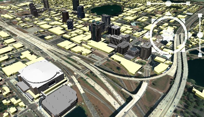
3D map model layers are essential for urban modeling, infrastructure planning, and visualizing buildings and landscapes in 3D. Maptitude supports adding, scaling, and manipulating 3D models within mapping projects. Users can overlay 3D buildings, bridges, and terrain models to simulate real-world environments, making this feature useful for city planning, environmental impact assessments, and architectural visualization. The ability to adjust lighting, texture, and perspective enhances the realism of these models, making them effective tools for stakeholder presentations and community engagement.
Maptitude Mapping Software gives you all of the tools, maps, and data you need to analyze and understand how geography affects you and your business. Maptitude maps can help you better understand how geography affects you and your business.
Home | Products | Contact | Secure Store
