| Mapping, GIS, & Transportation Software Solutions |
| Mapping, GIS, & Transportation Software Solutions |
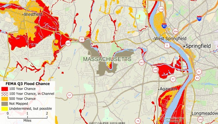
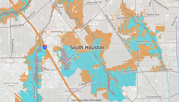
The Federal Emergency Management Agency (FEMA) has produced two flood map products. The first product is called Q3 Flood Data and corresponds to FEMA's 1999 FIRM flood maps, and is available for over 1300 counties in the U.S. in separate files by state. FEMA then created Digital Flood Insurance Rate Maps (DFIRMs). As part of Flood Map Modernization, FEMA will only update or produce DFIRMs.
DFIRMs can be accessed via Maptitude by downloading an XML file (see below) and then using the Map > Imagery > FEMA Flood Hazard Zones command.
Historical FEMA flood zone designations are available in Caliper CDF format for use with Maptitude and TransCAD.
To order or learn more, please contact a Caliper data expert today by emailing sales@caliper.com or by calling us at +1 617-527-4700.
FIPS - County FIPS Code|FEMA Q3 Flood
Community - NFIP Community Identification Number|FEMA Q3 Flood
Panel Type - FIRM Panel Type|FEMA Q3 Flood
FIRM Panel - FIRM Panel Number|FEMA Q3 Flood
Quad Longitude - Longitude of USGS Quadrangle|FEMA Q3 Flood
Quad Latitude - Latitude of USGS Quadrangle|FEMA Q3 Flood
USGS Quad ID - USGS Quadrangle Number|FEMA Q3 Flood
Zone Coded - Flood Hazard Zone|FEMA Q3 Flood
Floodway - Floodway|FEMA Q3 Flood
COBRA - Coastal Barrier Resources System|FEMA Q3 Flood
Chance - Flood Hazard Zone|FEMA Q3 Flood

Follow these steps to use the FEMA DFIRM data:

Home | Products | Contact | Secure Store