| Mapping, GIS, & Transportation Software Solutions |
| Mapping, GIS, & Transportation Software Solutions |
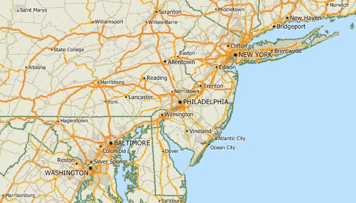
The U.S. TIGER Package comprises nationwide Census summary level boundary files and TIGER-based geographic files.
Available in Caliper CDF format for use with Maptitude and TransCAD.
To order or learn more, please contact a Caliper data expert today by emailing sales@caliper.com or by calling us at +1 617-527-4700.
Includes the following TIGER-based layers:
• Census Places
• Census Tracts
•
Consolidated Cities
• Core Based Statistical Areas (CBSA):
Metropolitan Statistical Areas (MSA) and Micropolitan Statistical Areas
•
Counties
• County Subdivisions: Minor Civil Divisions (MCD) and
Census County Divisions (CCD)
• Indian Reservations
• States
• Subbarios
• Landmarks
• Railroads
• Rivers
• Streets
•
Water Areas
Also includes:
•
3-Digit and 5-Digit ZIP Codes with the Census demographic and American Community Survey data
•
5-Digit ZIP Code Centroids
• Area Codes
• Combined Statistical
Areas
• National Parks
• Populated Places
• State Plane
Coordinate Systems
• Time Zones
• Water Areas
|
|
Learn more about Census summary levels (e.g., Blocks, Block Groups, and Tracts) |
*For use with a single copy of Caliper's Maptitude Mapping Software or TransCAD Transportation Planning Software

Home | Products | Contact | Secure Store