10 October 2025
Unlimited batch geocoding mapping software allows you to add coordinates to your location data without additional fees, credits, record limits, or other costs. The application also allows you to perform reverse geocoding to find addresses when the input is a coordinate.
Geocode your data with Maptitude batch geocoding software
Maptitude provides unlimited geocoding at the address level with all of your data attached
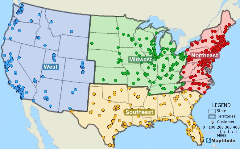
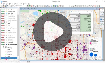
Maptitude mapping software provides you with unlimited geocoding. You can use the built-in geocoding tools to locate a point feature for every record in your table and see the distribution of your customers, facilities, or other resources.
Create-a-Map Wizard™ gives you start-to-finish assistance for locating (geocoding), geographically analyzing, and mapping your data. In a few easy steps, you can locate your customers, color code ZIP/Postal Codes with your sales data, build bands around your stores, and much more.
Geocoding Excel data in Maptitude Online is as simple as dragging and dropping
Maptitude geocoding software offers powerful features to help you accurately locate and analyze your data. With a variety of geocoding options, Maptitude ensures precise results, whether you're working with addresses, coordinates, or custom datasets.

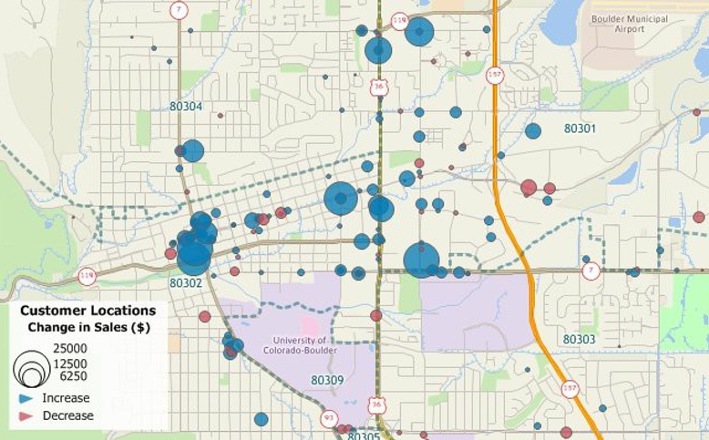
Batch geocode your data and spot hidden trends
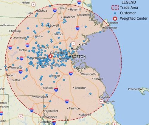
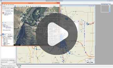
IIdentify valuable sites after batch geocoding your data

|
“I like the easy geocoding of addresses and the ability to analyze socioeconomic data with just a few clicks.” Vicki Oppenheim |
 |
“Maptitude is essential for my custom demographic consulting company’s work, which includes analysis of spatial data and presenting results to public sector clients. The tools to prepare finished maps are excellent. The geocoding tool is excellent. The software is easy to use and has evolved over time to improve with each new release. Tech support is excellent. Caliper staff members answer emails and phone calls promptly and have always continued to help us until problems are solved. Best of all, the software is relatively inexpensive, especially for such a powerful tool!”
Jeanne Gobalet |
Whether you use the in-process extension API or the out-of-process connection API, you can access more than 850 GIS functions. These functions include:
“The single most important feature is unlimited geocoding on high quality and accurate street data. Address geocoding is fundamental to decisions based on geographic data. Maptitude provides tools to assess and review match success rates based on updatable and reliable street data, while providing alternative levels of accuracy and modifiable geocoding rules.”
Maptitude supports address geocoding, POI geocoding, ZIP/postal code geocoding, coordinates geocoding, custom location geocoding, region-based geocoding, intersection geocoding, parcel geocoding, and international geocoding. These tools are ideal for mapping customer locations, optimizing routes, market analysis, and urban planning.
Unlock the power of unlimited batch geocoding and precise location mapping with Maptitude. Whether you’re geocoding large datasets, analyzing spatial trends, or building custom maps, Maptitude’s advanced geocoding features provide the tools you need to gain deeper insights and make data-driven decisions.
Start geocoding smarter – with no hidden fees or limits.
Geocode, analyze, and map your data with ease – all in one powerful platform.
 Check out our G2 Reviews
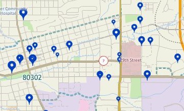
Home | Products | Contact | Secure Store
