

The Download Free Layers Add-In provides easy access to no-cost web-based data-sources. This tool downloads detailed data, including streets, boundaries and postal code points for many countries and requires an internet connection. These data are converted to the standard Caliper geographic format (.dbd) and added to default maps. Attractive and compelling styles are automatically applied, allowing you to quickly create presentation quality maps of your area of interest. Also, by using the Locate-by-Value tool in Maptitude/TransCAD you can plot your points using the postal code locations.
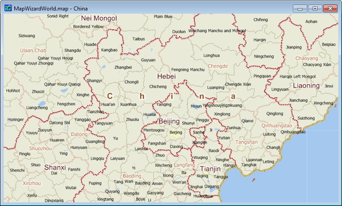
China map created with Maptitude using the Download Free Layers add-in.
To install:*
To use the Download Free Layers Add-In
Maptitude/TransCAD downloads the layers, saves them to new geographic files, and displays them in a map.
*NOTE: The Download Free Layers add-in works only with Maptitude and TransCAD version 5.0 or higher.
Images are ©2012 Caliper Corporation, Licensed under Creative Commons 3.0; Source: OpenStreetMap, GeoNames